Mapwith.ai
☷Table of contents▾
Mapwith.ai
Free
Map the World with Precision
VISIT WEBSITE
Most popular alternative: Maps GPT
Introduction:
Are you tired of spending hours manually mapping roads and features?
Introducing Mapwith.ai, the AI-powered mapping tool that revolutionizes the mapping experience.
By harnessing the power of artificial intelligence and high-resolution satellite imagery, Mapwith.ai enables you to quickly and precisely map with ease.
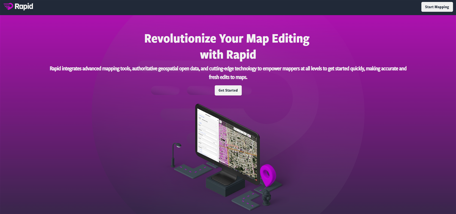
With the RapiD map editing tool, AI predicts features from satellite imagery, allowing you to effortlessly map roads and more.
Experience the efficiency of AI-assisted road hovering and tag-cycling, making mapping faster than ever before.
Rest assured, the built-in integrity checks of the RapiD editor ensure the quality of your newly added and modified roads.
Mapwith.ai has already made a significant impact in humanitarian efforts worldwide, aiding disaster response in India and facilitating training workshops in Thailand and Tanzania.
Join the mapping revolution with Mapwith.ai, the invaluable tool that combines AI and OpenStreetMap to map the world accurately and efficiently.
Overview:
Mapwith.ai is an AI-powered mapping tool that combines OpenStreetMap and artificial intelligence (AI) to create a faster and more accurate mapping experience. AI is used to predict features from high-resolution satellite imagery, which are then populated in the RapiD map editing tool.
With this tool, users can quickly and easily map roads and other features from satellite imagery. AI-assisted road hovering and tag-cycling allow for a more efficient mapping experience. The RapiD editor also has built-in integrity checks to ensure quality assurance on newly added and modified roads.
Mapwith.ai has been used in various humanitarian efforts around the world, such as the Kerala disaster response in India and training workshops in Thailand and Tanzania. With its combination of AI and OpenStreetMap, Mapwith.ai is an invaluable tool for mapping the world.
Benefits:
- AI-powered mapping tool that combines OpenStreetMap and artificial intelligence (AI)
- Predicts features from high-resolution satellite imagery
- Populates predicted features in the RapiD map editing tool
- Allows for quick and easy mapping of roads and other features
- Built-in integrity checks ensure quality assurance on newly added and modified roads

Writer at TechLaugh, covering practical AI tools for creators and businesses.