



























































































HappyRobot
 Guide2 min read
☷Table of contents▾
HappyRobot
Freemium
HappyRobot: Geospatial Data Made Easy
VISIT WEBSITE
Introduction:
Are you tired of spending hours manually extracting data from geospatial imagery for decision-making?
Introducing HappyRobot, the AI tool that revolutionizes geospatial data extraction.
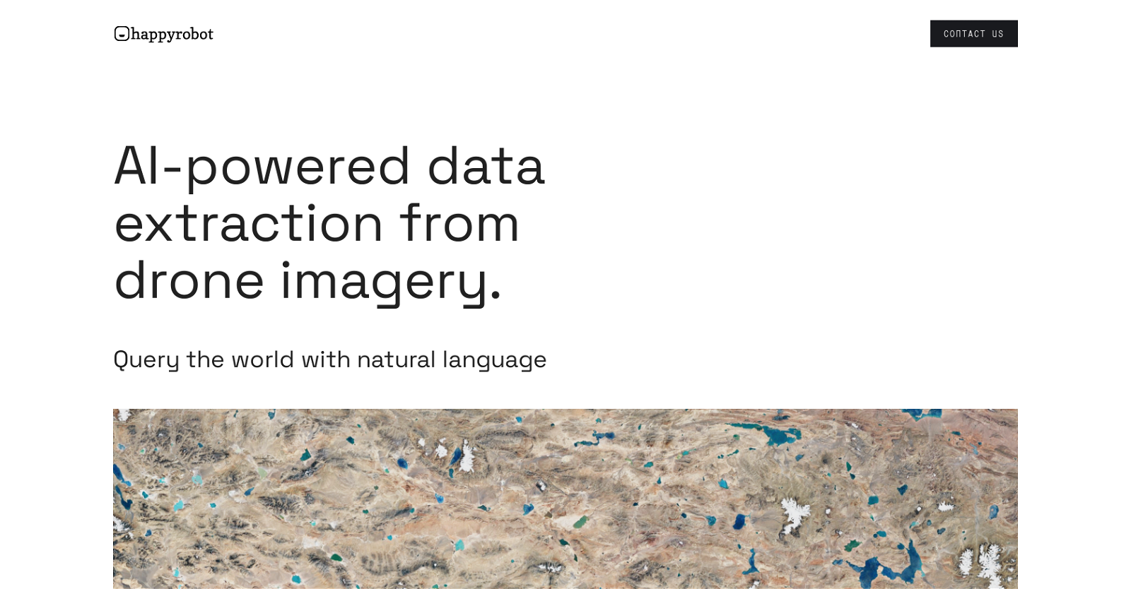
With HappyRobot, you can effortlessly transform satellite, drone, and aerial imagery into structured data using natural language queries.
Simply upload your own images or utilize our extensive partner database.
Discover all objects of interest within the dataset and describe them using natural language.
Export the extracted data via email, PDF, ArcGis, or API for seamless access and utilization.
Trusted by leading data teams, HappyRobot is your AI copilot for geospatial analysis.
Want to earn with the tools you are reading about?
The $50K AI Income Roadmap: 20 modern ways to earn with AI, with steps, prompts and real numbers. Free, one chapter a day.
Unlock the potential of your geospatial assets and monetize them through partnerships and AI models.
Experience the power of advanced algorithms and machine learning techniques with HappyRobot.
Explore the world with ease and efficiency for urban planning, environmental monitoring, and more.
Transform geospatial imagery into structured data with HappyRobot – your reliable solution.
Overview:
HappyRobot is an AI tool designed to extract quantitative data from geospatial imagery using natural language queries. It enables users to transform geospatial imagery, including satellite, drone, and aerial imagery, into structured data for decision-making purposes.
The tool offers the option to upload custom images or use images sourced from partners. Using one example, users can find all objects of interest within the entire dataset and describe them using natural language. Happyrobot provides various export options, including email, PDF, ArcGis, and API, allowing users to conveniently access and utilize the extracted data.
The tool is trusted by leading data teams and has a strong customer base. Additionally, Happyrobot offers partnerships that enable data owners to monetize their assets by building AI models and establishing trust to generate recurring revenue streams.
Overall, Happyrobot serves as an AI copilot, utilizing advanced algorithms and machine learning techniques to autonomously analyze geospatial imagery and extract valuable data. By enabling users to interact with the tool through natural language, it facilitates seamless query-based exploration of the world. Whether it is for urban planning, environmental monitoring, or any other geospatial application, Happyrobot provides a reliable and efficient solution for transforming geospatial imagery into structured data.
Benefits:
- Extract quantitative data from geospatial imagery using natural language queries
- Transform geospatial imagery into structured data for decision-making purposes
- Option to upload custom images or use images sourced from partners
- Find all objects of interest within the entire dataset and describe them using natural language
- Various export options, including email, PDF, ArcGis, and API

The TechLaugh editorial team, led by founder Akshay Kumar Singh, tests AI tools on real marketing and creative work. We check pricing on the day of writing, note free-plan limits, and update guides when tools change or shut down.